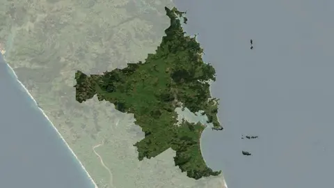
Climate summary report - Whangarei District
Climate
Adaptation
Flooding
Planning
Resilience
Risk
Understand climate event and variability trends for Whangarei District.
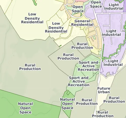
This data shows the district plan zones for the Whangārei district, including urban zones around the city, rural zones across the wider district, and special-purpose zones for places like the port, hospital, and airport. These zones tell you what you can and can't do on your whenua, particularly if it's in or near an urban area..
Whangārei's district plan has had several updates in recent years, so some zones may differ from older maps you have seen.
Understand climate event and variability trends for Whangarei District.
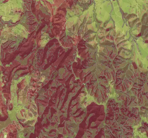
Check for land instability and slip-prone areas in the Whangārei District
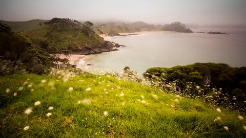
View rainfall data for Northland, showing monthly averages and percentages from gauges.
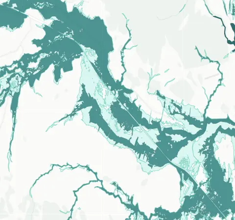
See river flood hazard zones near your Whangārei whenua
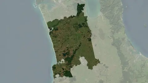
Understand climate event and variability trends for Waikato District.
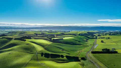
Get help to plan for climate change impacts on your whenua.
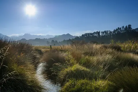
Learn about planting trees along waterways to enhance nature and prevent erosion.
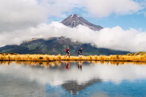
Learn about rules for activities near Taranaki wetlands.
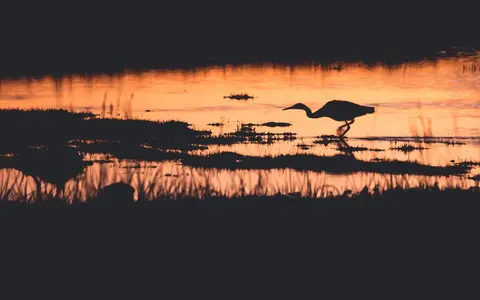
Learn how a new gravity gate lets Hikurangi Repo drain floodwater without harming tuna.
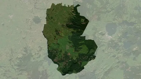
Understand climate event and variability trends for South Waikato District.
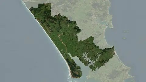
Understand climate event and variability trends for Kaipara District.
Find out how to effectively divide, combine or manage Māori land titles.
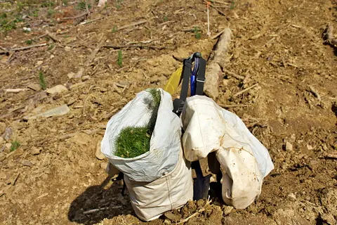
Find out about the resource consents needed for forestry activities in your rohe.
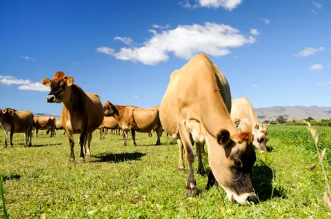
Rural survey data for understanding New Zealand's farming and planning needs.
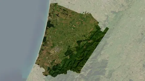
Understand climate event and variability trends for Horowhenua District.
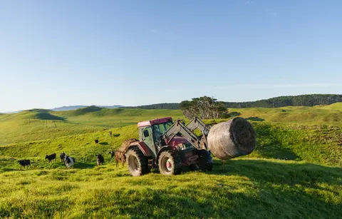
Fill in the basics of a farm plan: your farm, your values and your catchment.
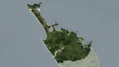
Understand climate event and variability trends for Far North District
A comprehensive dataset that tracks how rural land is used across Aotearoa.
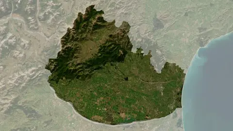
Understand climate event and variability trends for Waimakariri District.
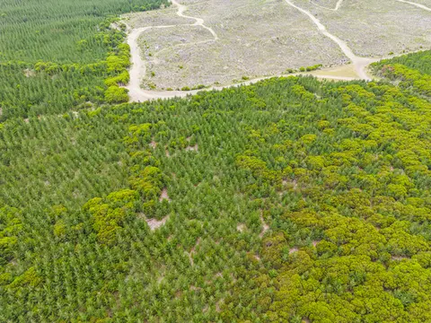
Guidance on creating forest harvest plans, including legal and safety requirements.
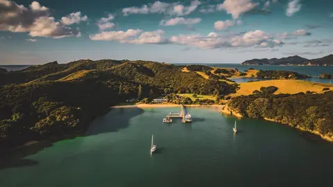
Learn which grape varieties grow in Northland, where the vineyards are and what the climate is like.
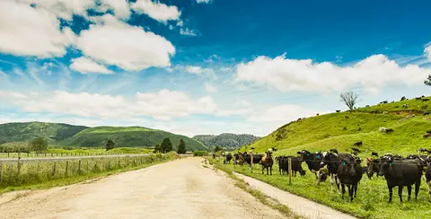
Find farming info and rules for the Waimakariri area.
Learn about creating a strategic plan to achieve your aspirations for your whenua.