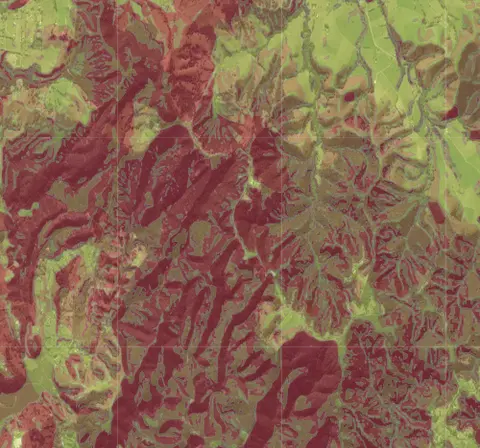
Whangārei District Council - Land Instability
Whenua
Planning
Risk
Soil
Check for land instability and slip-prone areas in the Whangārei District
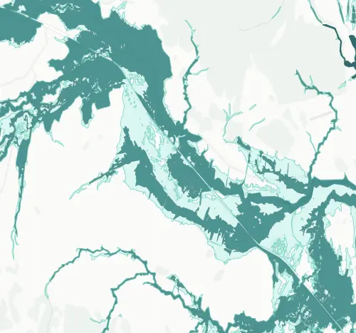
This map shows areas in the Whangārei district at risk of flooding from rivers and streams. The zones show which areas flood more often and which only go under in extreme events. River flooding is a well-known problem in parts of the Whangārei district. If your whenua is near a river or stream, this data shows you whether the council considers it a flood risk area, which can affect building consent requirements and insurance.
Check for land instability and slip-prone areas in the Whangārei District
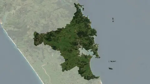
Understand climate event and variability trends for Whangarei District.
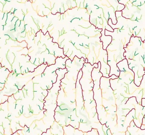
Check which streams on your whenua are most vulnerable to bank erosion.
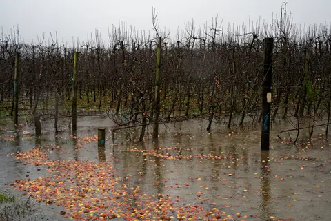
The report identifies vulnerable communities in New Zealand at risk of flooding.
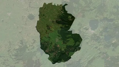
Understand climate event and variability trends for South Waikato District.
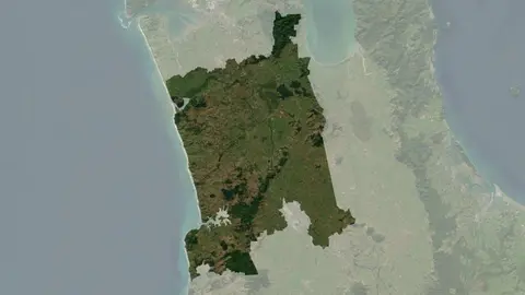
Understand climate event and variability trends for Waikato District.
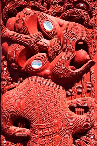
This paper explores how risk-based insurance pricing affects Māori communities and values.
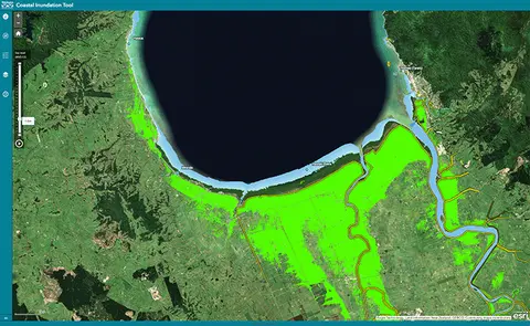
Understand coastal flooding risks in the Waikato region.
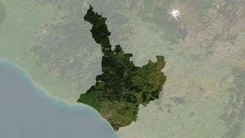
Understand climate event and variability trends for Whanganui District.
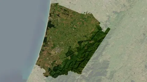
Understand climate event and variability trends for Horowhenua District.
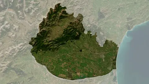
Understand climate event and variability trends for Waimakariri District.
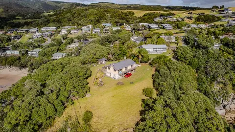
Check how coastal flooding, erosion and river flooding could affect your own property.
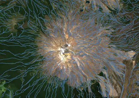
Download a dataset of named and unnamed river lines data for use in your analysis.
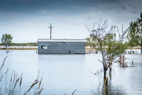
Explore coastal flood maps to assess the potential impacts of sea-level rise in your rohe.
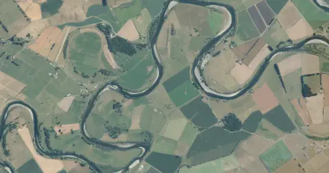
See flood risk maps for your region now and under future climate changes.
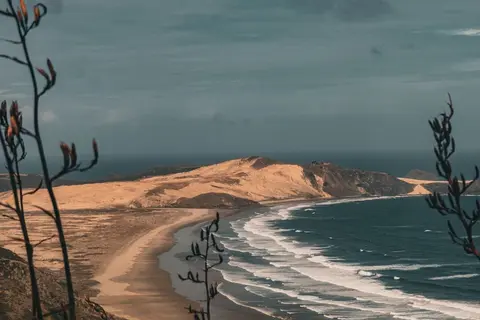
Learn how sea level rise, coastal erosion and river flooding are changing Northland.
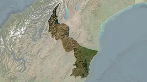
Understand climate event and variability trends for Waitaki District.
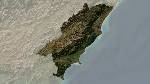
Understand climate event and variability trends for Kaikōura District.
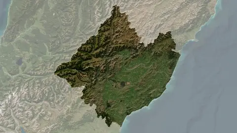
Understand climate event and variability trends for Hurunui District.
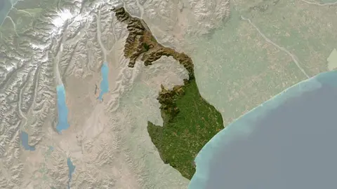
Understand climate event and variability trends for Timaru District.
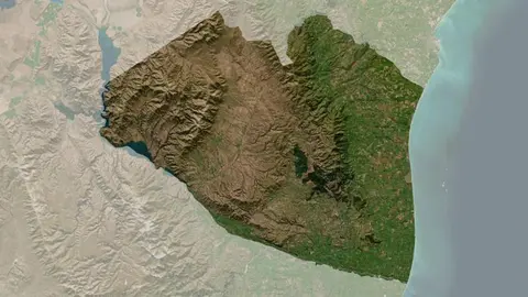
Understand climate event and variability trends for Waimate District.
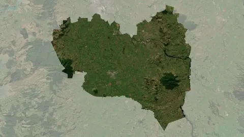
Understand climate event and variability trends for Waipa District.
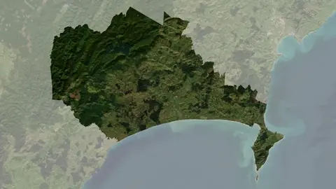
Understand climate event and variability trends for Wairoa District.