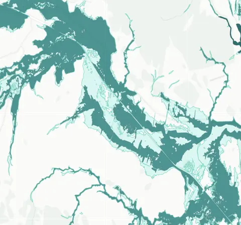
Whangārei District Council - Flood Hazard Zones
Whenua
Adaptation
Flooding
Resilience
Risk
See river flood hazard zones near your Whangārei whenua
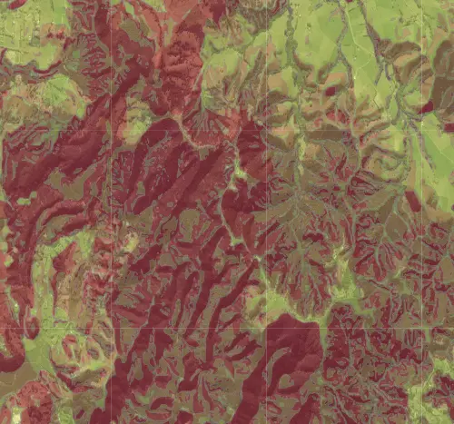
This map shows areas in the Whangārei district that are prone to landslides, slips, or other ground movement. Parts of Whangārei have steep terrain with clay-rich soils that get waterlogged in heavy rain -- a combination that leads to slips.
If your whenua falls within an instability zone, it may affect what you can build and where. The council typically requires a geotechnical assessment (a specialist ground stability report) before granting building consent in these areas.
See river flood hazard zones near your Whangārei whenua
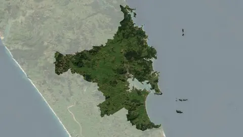
Understand climate event and variability trends for Whangarei District.
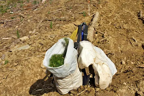
Find out about the resource consents needed for forestry activities in your rohe.
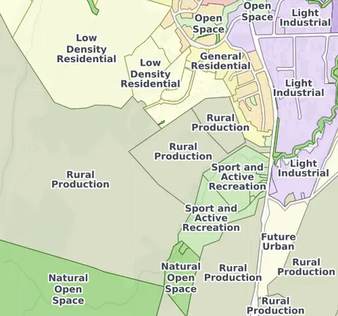
Check the district plan for your Whangārei whenua.
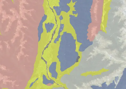
Use the NZLRI rock dataset to understand what type of rock is under your whenua.
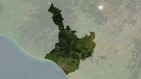
Understand climate event and variability trends for Whanganui District.
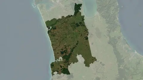
Understand climate event and variability trends for Waikato District.

View rainfall data for Northland, showing monthly averages and percentages from gauges.
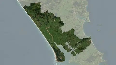
Understand climate event and variability trends for Kaipara District.
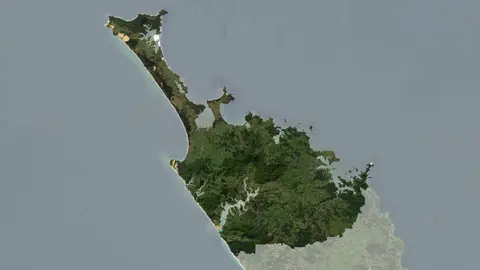
Understand climate event and variability trends for Far North District
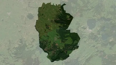
Understand climate event and variability trends for South Waikato District.
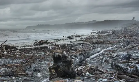
A detailed report on the climate-related challenges facing Māori communities.

Tony and Lynda Gray share their journey in sustainable farming after severe weather impacts.
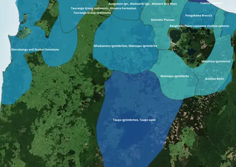
Find out where you might be able to access groundwater in your rohe.
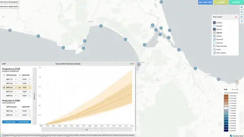
Explore sea-level rise projections for New Zealand’s coasts, with local impacts and maps available.
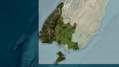
Understand climate event and variability trends for Southland District.
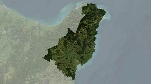
Understand climate event and variability trends for Gisborne District.
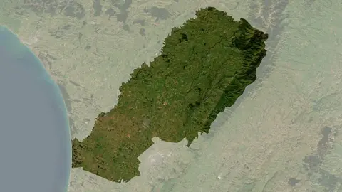
Understand climate event and variability trends for Manawatu District.
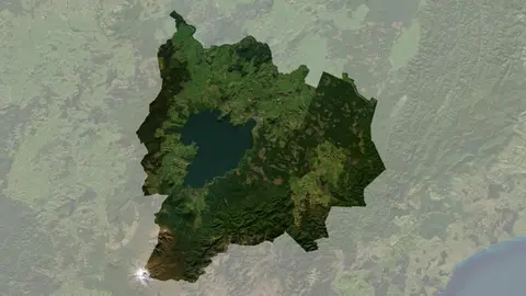
Understand climate event and variability trends for Taupō District.
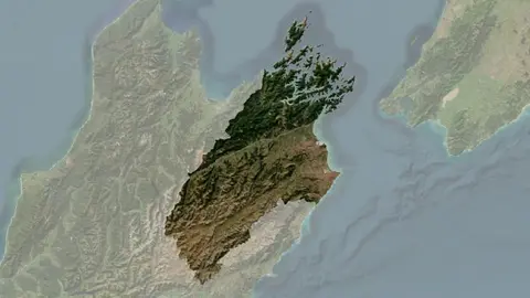
Understand climate event and variability trends for Marlborough District.
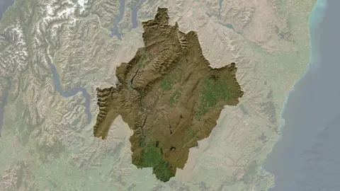
Understand climate event and variability trends for Central Otago District.
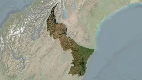
Understand climate event and variability trends for Waitaki District.
See how drought conditions and extreme rainfall in Aotearoa have changed as a result of climate change.