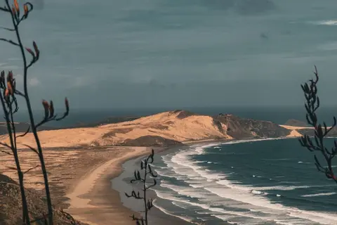
Introduction to hazards in Te Taitokerau
Climate
Erosion
Flooding
Mātauranga
Learn how sea level rise, coastal erosion and river flooding are changing Northland.

This interactive map from Northland Regional Council lets you search any address in the region and see what coastal flooding, coastal erosion and river flooding hazards apply to that property.
It draws on the council's coastal and river flood hazard zone maps, showing current risk alongside the projected risk over the next 50 and 100 years, with links to each district council and the wider Northland Hazards Portal.
Learn how sea level rise, coastal erosion and river flooding are changing Northland.

View sea-level rise and coastal erosion risks in Tasman Bay and Golden Bay.
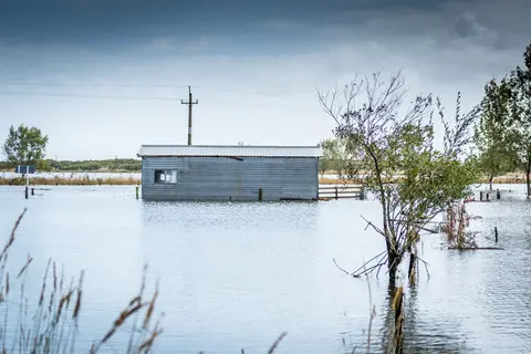
Explore coastal flood maps to assess the potential impacts of sea-level rise in your rohe.
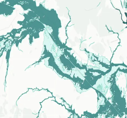
See river flood hazard zones near your Whangārei whenua
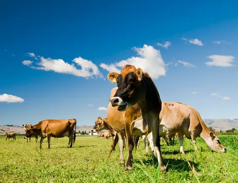
This research assesses dairy farming risks from coastal flooding and sea level rise in Aotearoa.
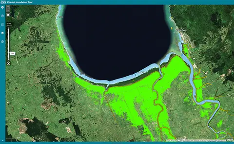
Understand coastal flooding risks in the Waikato region.
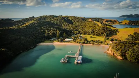
See a plain-English summary of NIWA's climate change projections for Northland.
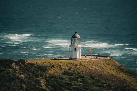
Read NIWA's full technical report on Northland's climate out to 2090.
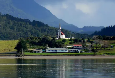
Learn how to build a plan so your community can look after itself in an emergency.
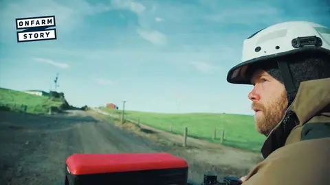
Learn how a young Northland dairy farming couple won Share Farmer of the Year.

Don and Kirsten Watson share their journey of running a dairy farm together.
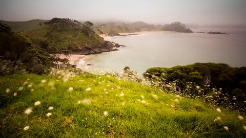
View rainfall data for Northland, showing monthly averages and percentages from gauges.
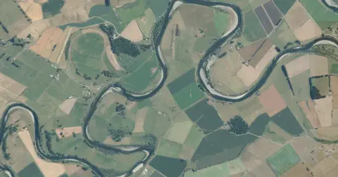
See flood risk maps for your region now and under future climate changes.
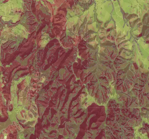
Check for land instability and slip-prone areas in the Whangārei District
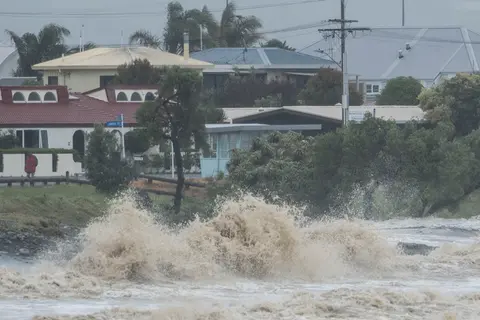
Explore interactive maps showing climate hazards for your hapori.
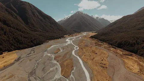
See where river management and flood protection projects are under way.
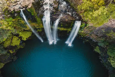
This report analyzes climate risks in Northland, focusing on impacts, perspectives, and management strategies.

Access user-friendly maps and aerial photos for property and planning on the West Coast.
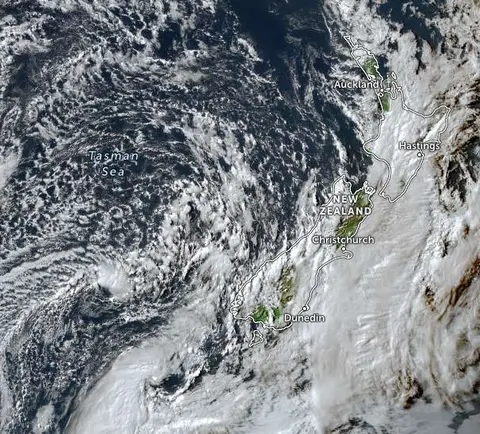
Zoom in on live satellite maps to check weather, floods, fire risk, and land changes in your rohe.
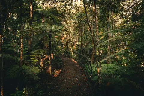
Explore how restoring bush, wetlands and waterways builds Northland's climate resilience.
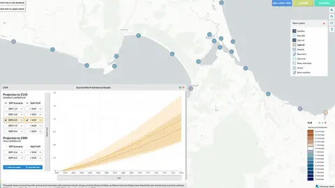
Explore sea-level rise projections for New Zealand’s coasts, with local impacts and maps available.
Learn what taniwha can teach us about floods, and how much worse they could get.
Webinar on NZ land use classes and the new Land Resources Portal for maps, guides, and data.