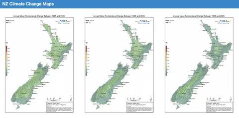
Our Future Climate New Zealand
Climate
Adaptation
Community
Emissions reduction
Flooding
Productivity
Risk
Explore how climate change will impact New Zealand's weather and environment over the coming century.
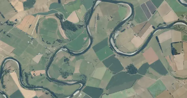
Get detailed flood maps showing which areas of your region's floodplains are at risk in a major (100-year) flood. You can explore how that risk changes as the climate warms, with maps available for current conditions and up to 3°C warmer.
These maps show where the water could reach, and how deep or fast it might be during heavy rain events. All main floodplains across Aotearoa are included (where LiDAR data exists), and the data is free for non-commercial use.
Photo: LINZ Aerial by Toitū Te Whenua LINZ, licensed for reuse under CC BY 4.0
Explore how climate change will impact New Zealand's weather and environment over the coming century.

See how rising temperatures, floods, changing rain, and the environment may affect our whenua over the next century.
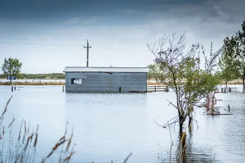
Explore coastal flood maps to assess the potential impacts of sea-level rise in your rohe.
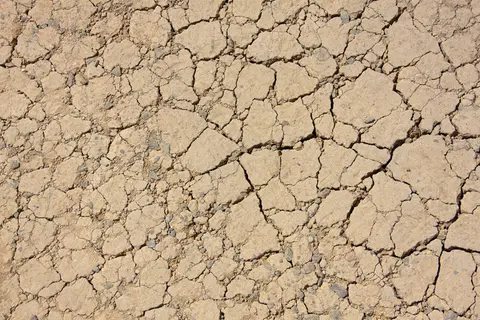
View drought intensity data and charts for your region. Updated monthly.
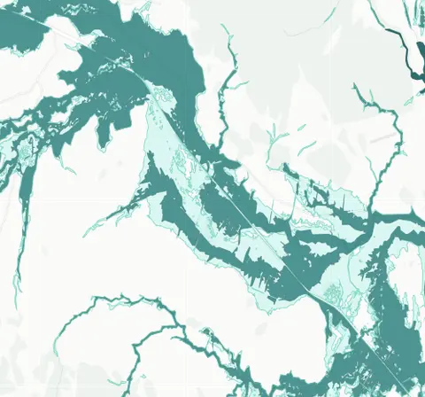
See river flood hazard zones near your Whangārei whenua
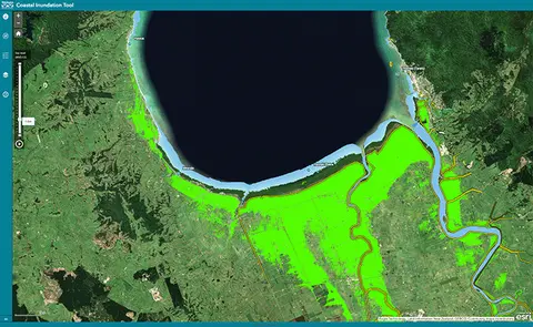
Understand coastal flooding risks in the Waikato region.
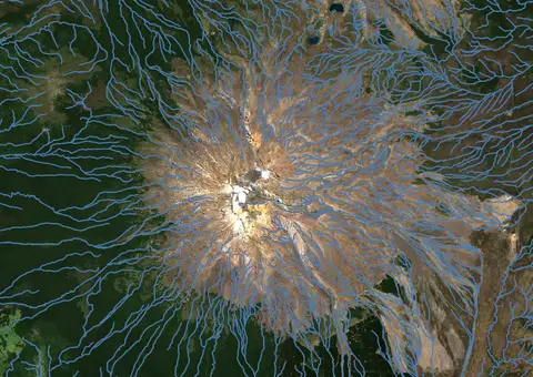
Download a dataset of named and unnamed river lines data for use in your analysis.
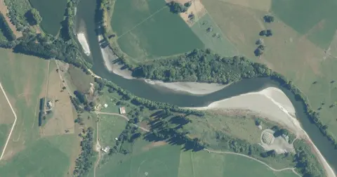
Model how land use changes might influence water quality in your catchment.
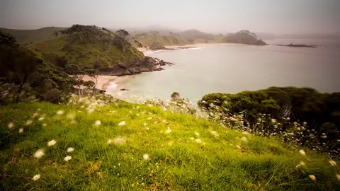
View rainfall data for Northland, showing monthly averages and percentages from gauges.
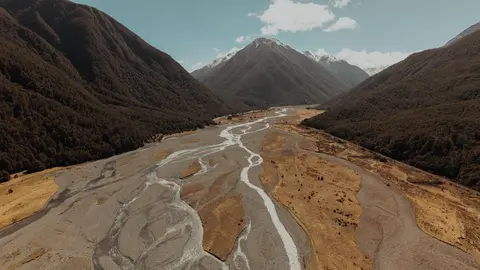
See where river management and flood protection projects are under way.
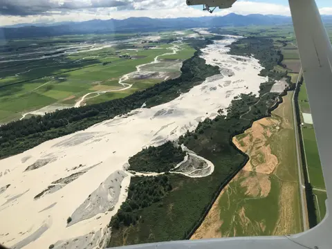
This add-in for Google Earth can help you map flooding using satellite imagery and public datasets.
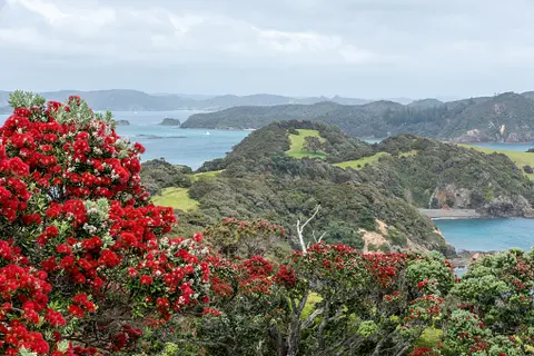
Explore projected temperature and rainfall changes for Aotearoa online.
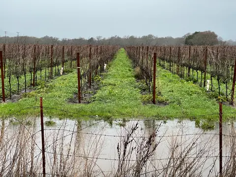
Find flood response guidance and support resources for growers affected by adverse events.
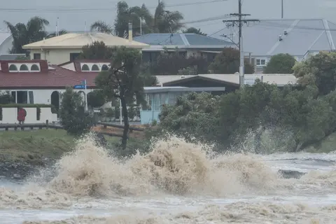
Explore interactive maps showing climate hazards for your hapori.
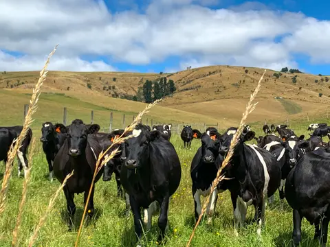
See how many hot days dairy cows in your rohe could face as the climate warms.
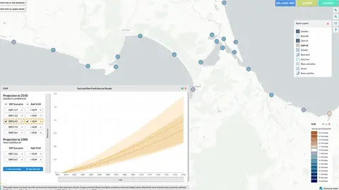
Explore sea-level rise projections for New Zealand’s coasts, with local impacts and maps available.
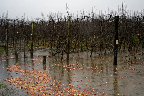
The report identifies vulnerable communities in New Zealand at risk of flooding.
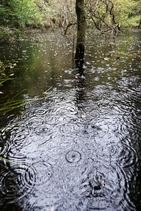
See how drought conditions and extreme rainfall in Aotearoa have changed as a result of climate change.
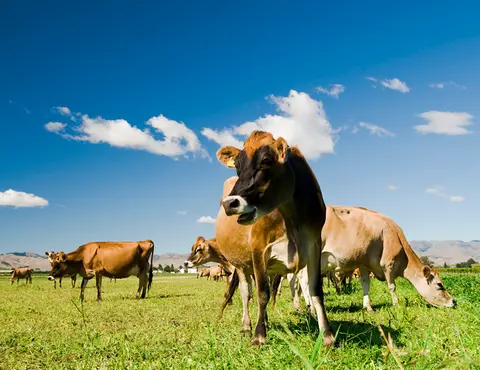
This research assesses dairy farming risks from coastal flooding and sea level rise in Aotearoa.
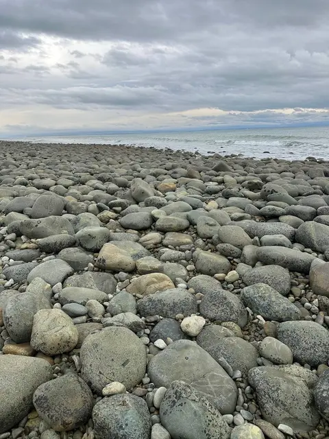
Discover the sunshine, dry spells and mild temperatures of Whakatū Nelson and Tasman.
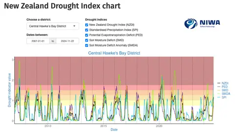
Monitor drought in New Zealand using key indicators and climate data. Access maps and downloads.
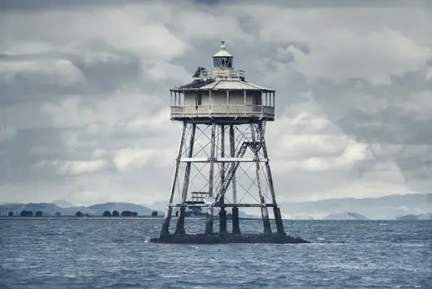
Learn how Auckland's subtropical climate shapes what you can grow and when.
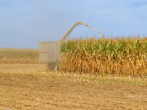
Find out how often heat stress could hit maize in your rohe as the climate changes.