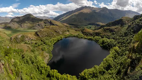
Freshwater Improvement Scenario Builder
Whenua
Sustainability
Water
Explore how land use changes affect water quality and nitrogen, phosphorus loads.
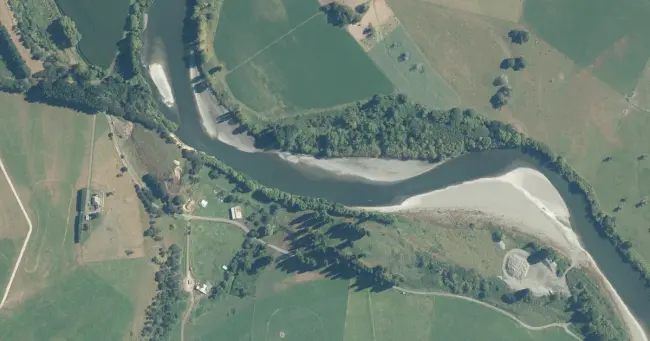
This web tool lets you view current river and lake water quality results for key indicators, then model how different land mitigation or land use change scenarios could affect those results. It includes graphs and tables, and is set up to compare current conditions with predicted freshwater outcomes under different scenarios.
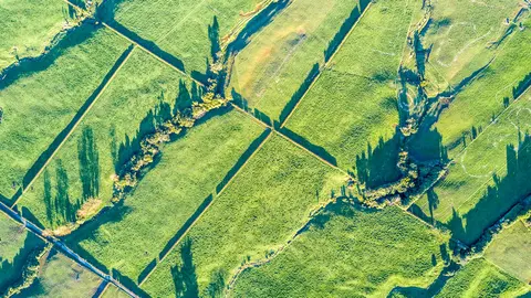
Photo: LINZ Aerial by Toitū Te Whenua LINZ, licensed for reuse under CC BY 4.0
Explore how land use changes affect water quality and nitrogen, phosphorus loads.
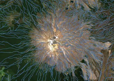
Download a dataset of named and unnamed river lines data for use in your analysis.
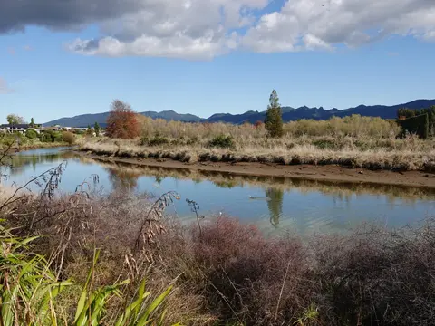
See real examples of waterway restoration actions underway in your rohe.
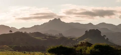
Explore future scenarios for the Waikato region with this interactive tool.
A model for understanding how change could impact farming and the environment.
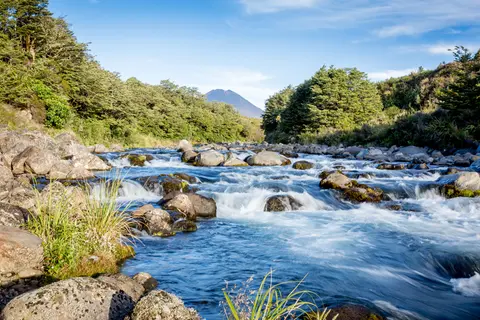
Explore how land use affects soil and water quality across New Zealand catchments.
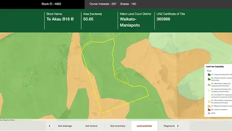
Explore different regulatory, soil, water, and land potential maps for your whenua.
Read about the impacts different Aotearoa land use change scenarios might have on cliamte and socio-economic outcomes.
Compare nitrogen and phosphorus levels in your rivers against national bottom lines.
Explore projected temperature and rainfall changes for Aotearoa online.
See different climate change scenarios for New Zealand and their potential impacts.
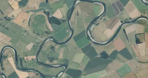
See flood risk maps for your region now and under future climate changes.
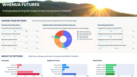
Explore land use impacts of different land uses in Tairāwhiti with this interactive forestry tool.
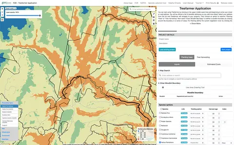
Treefarmer is a powerful free web tool to help small-scale forest growers plan tree planting and manage harvests.
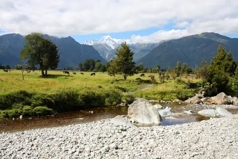
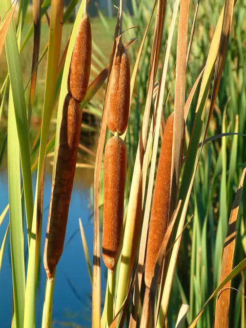
An interactive key to identify different wetlands that can be found in Aotearoa.
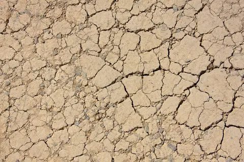
View drought intensity data and charts for your region. Updated monthly.
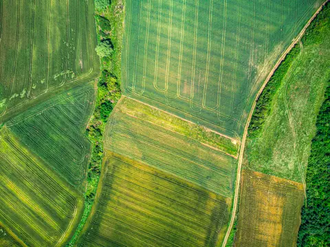
A data-driven model to explore how policies and land use affect the environment in New Zealand.
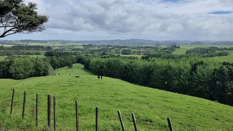
Choose the right tree species for your farm woodlot based on site factors like soil, climate, and wind.
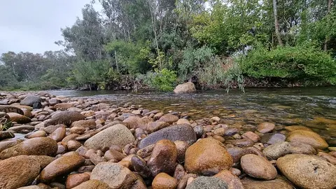
Compare sediment levels in your local rivers against national bottom lines.
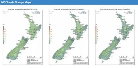
Explore how climate change will impact New Zealand's weather and environment over the coming century.
View maps showing average soil moisture deficit onset and termination dates across New Zealand.
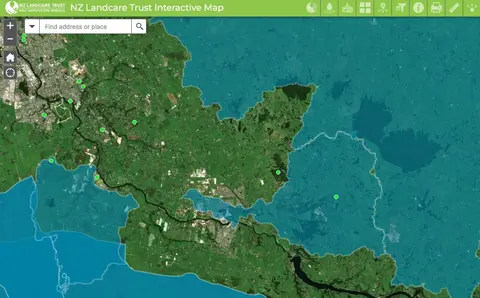
Find catchment and environmental groups and water quality data with this interactive map.