Common Mistakes and Pitfalls in Carbon Farming
Climate
Compliance
Forestry
Risk
The errors that cost carbon forest owners the most.
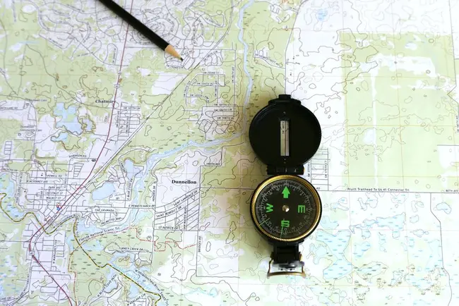
A registration is built on maps. Each carbon accounting area must be drawn as a shapefile in the national projection, and the area drawn is the area that earns. Smaller forests then use the standard tables and larger ones measure their own trees.
This guide sets out the mapping rules and typical costs, how the two calculation methods work, what goes into an emissions return, how areas can be split or merged later, and the mapping errors that most often delay an application.
The errors that cost carbon forest owners the most.
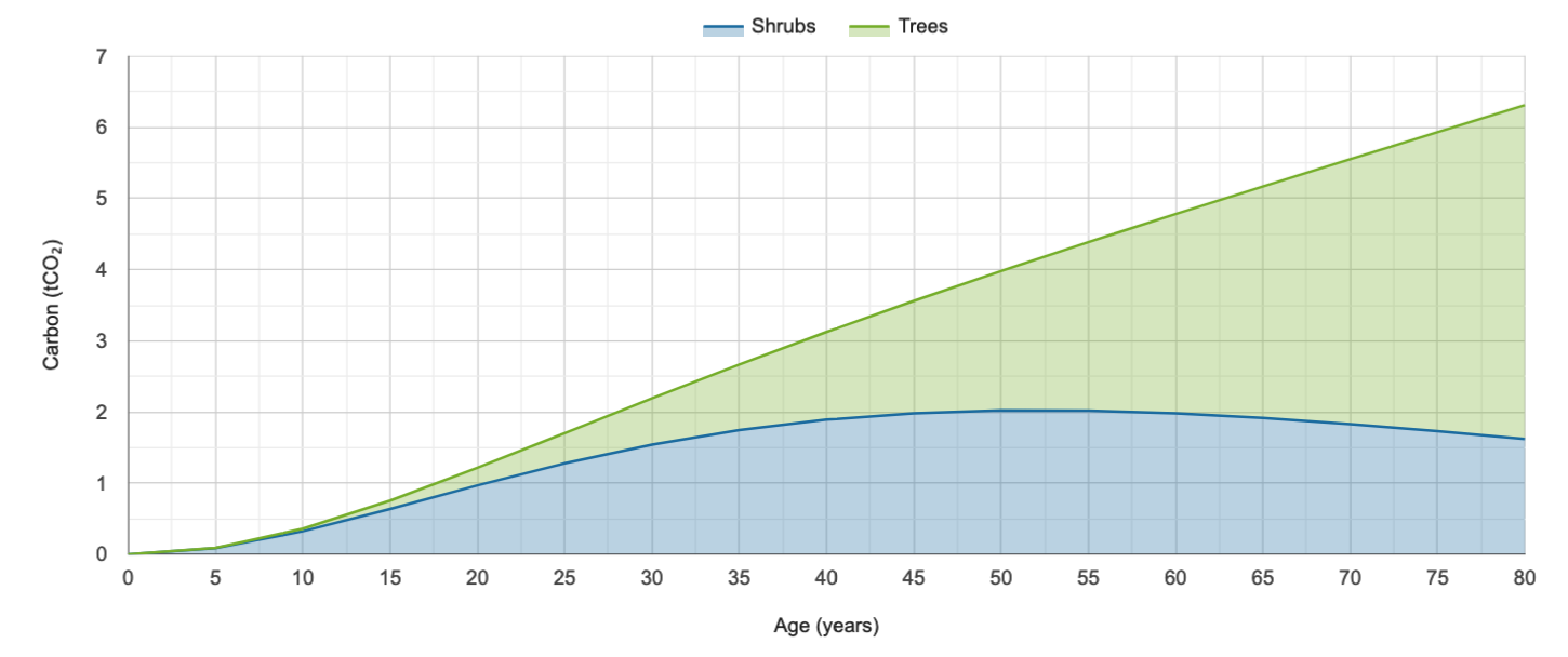
Calculate carbon storage in native forests and find planting needs to offset your footprint.
Look up expected carbon stock by forest age for small forests in the ETS.
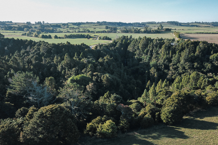
Learn how tree planting on farms can earn carbon credits in the Emissions Trading Scheme (ETS).
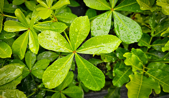
Reports from a nationwide survey of native tree plantings for growth and carbon insights.
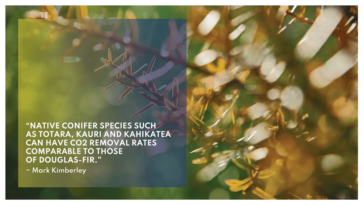
Find out about carbon sequestration rates in native forests and planting methods in New Zealand.
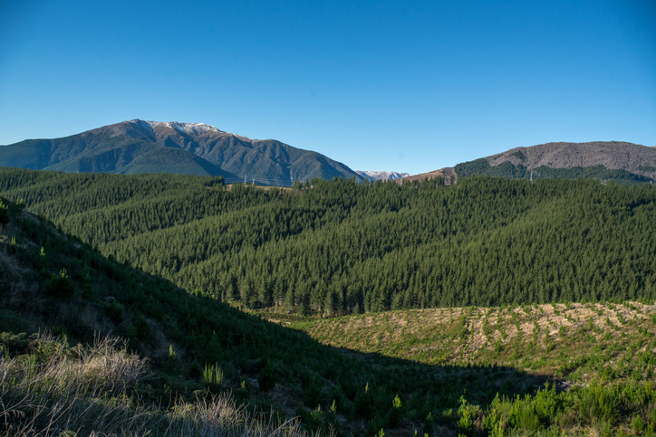
Get guidance on mapping your forest areas to assess eligibility for the Emissions Trading Scheme.
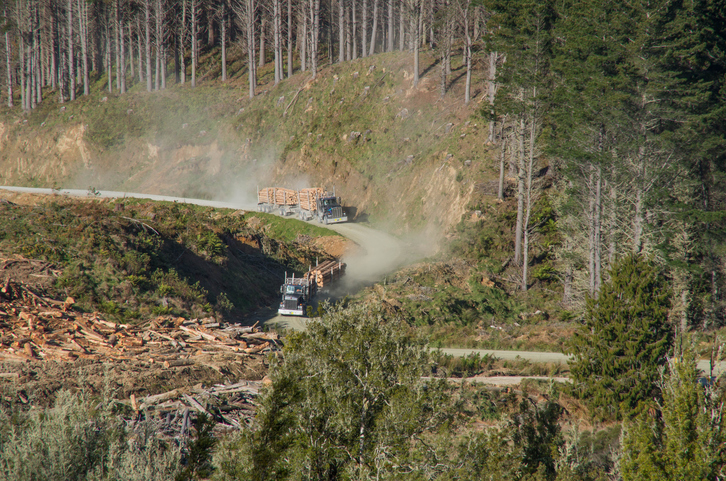
Compare how much carbon radiata pine could store on your whenua by age and stocking.
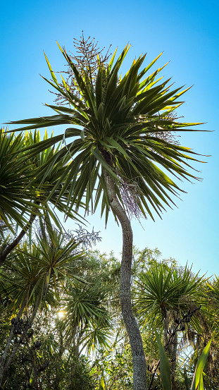
Learn how farms can use trees for carbon credits to boost income while enhancing te Taiao.
Join the Sprout Accelerator to grow your AgTech or FoodTech venture with expert support.
Get grants up to $200,000 for innovative agribusiness projects.
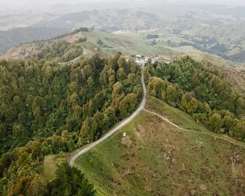
The standard tables that set a smaller forest's carbon earnings.
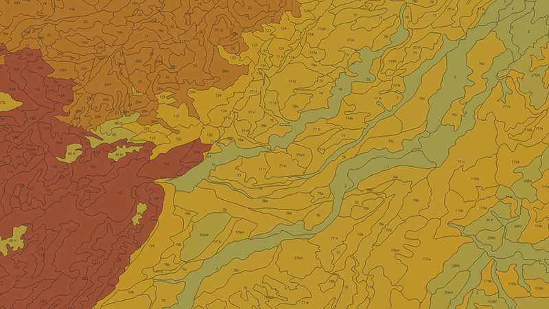
Learn how to measure and map soil carbon to reduce agricultural greenhouse gas emissions.
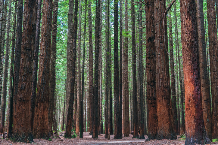
See how much carbon coast redwood could store on your whenua by age and stocking.
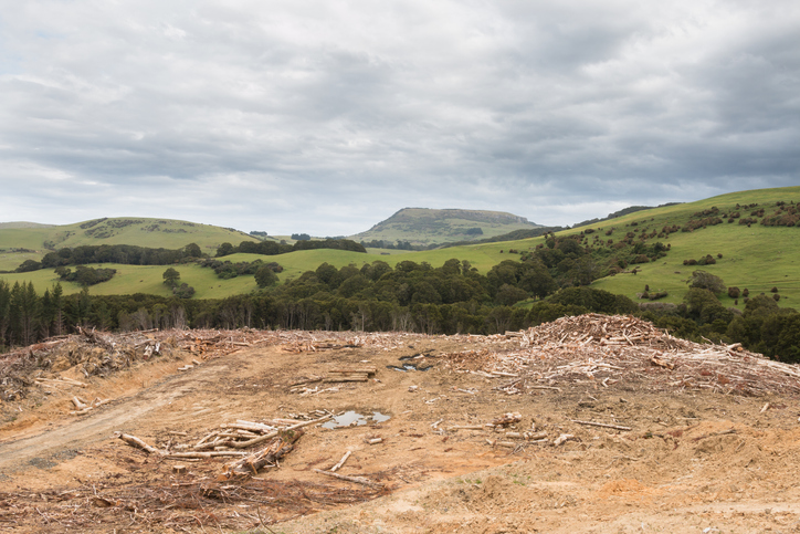
See statistics about deforestation for each local council area.
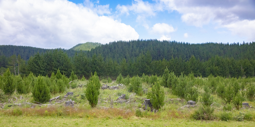
This paper discusses carbon farming on Māori land, its benefits, and decision-making challenges.
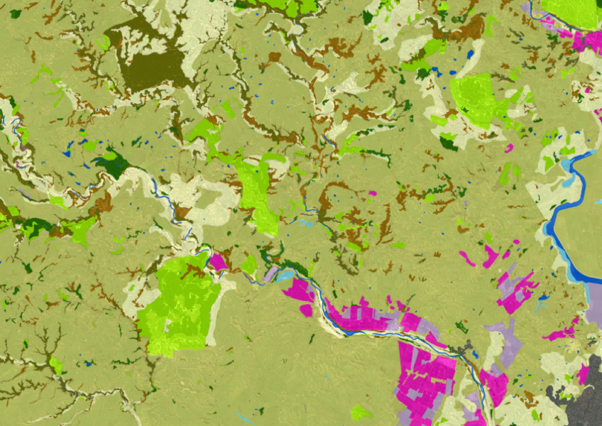
LUCAS is a national dataset that tracks carbon sequestration and land use change over time.
Plain definitions of the ETS and carbon forestry terms.
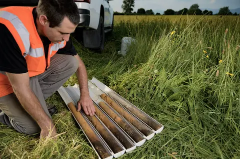
Find out what's involved in benchmarking your farm's soil carbon stocks over time.
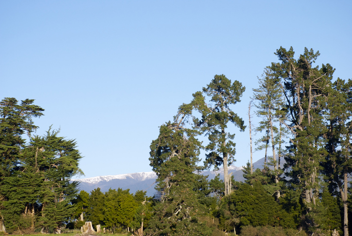
Learn how well cypress trees could grow and yield timber on your whenua.
Learn how soil carbon impacts climate change and things you can do on your farm to offset your emissions.
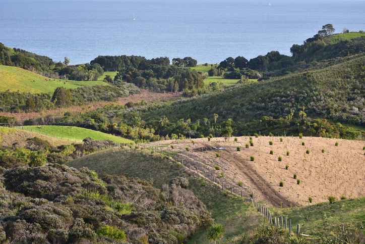
Find out how to convert marginal or depleted agricultural land into native forests for carbon farming.
The two ways the ETS counts a forest's carbon, and which applies.