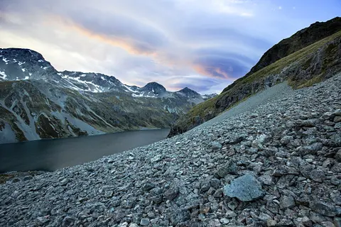
Climate change impacts on suspended sediment loads in New Zealand
Climate
Erosion
Sustainability
Water
Find out how climate change could shift sediment loads in your local rivers.
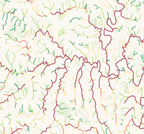
This map shows how vulnerable each stream and river segment in New Zealand is to streambank erosion -- where the banks are most likely to crumble, slump, or wash away.
Every waterway segment is classified from very low through to very high susceptibility. If streams on your whenua show high susceptibility, the banks are at risk of eroding, which sends sediment into the water, widens the channel, and can eat into your productive land over time. Fencing waterways and planting riparian margins are the most effective ways to protect vulnerable banks.
The data is modelled using the River Environment Classification (RECv2.5) and calculates susceptibility based on a set of rules that take into account geology, slope, and catchment characteristics - but not whether erosion is actively happening right now.
Find out how climate change could shift sediment loads in your local rivers.
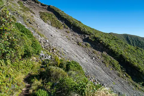
Find links to the main models used to estimate erosion and sediment in Aotearoa.
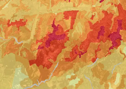
This map shows erosion types and estimated severity across Aotearoa.

See how mayflies and macroinvertebrates indicate stream health in New Zealand.
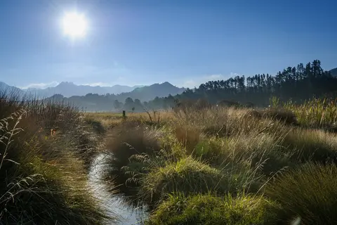
Learn about planting trees along waterways to enhance nature and prevent erosion.
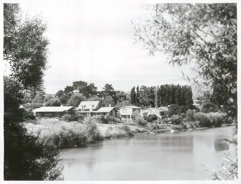
A project to restore the Waimatā River, focusing on ecology and community involvement.
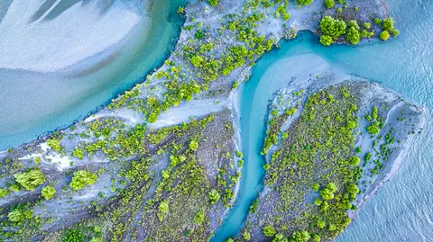
Compare E. coli levels in your local rivers against national bottom lines.
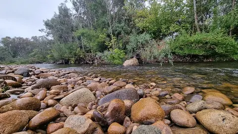
Compare sediment levels in your local rivers against national bottom lines.
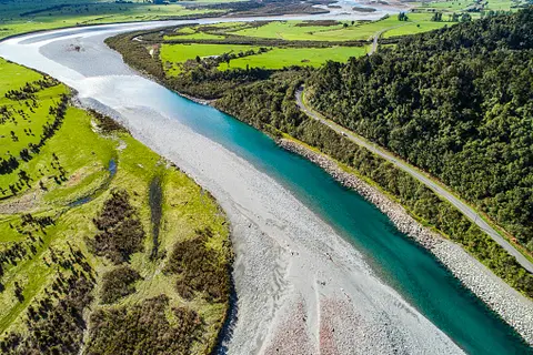
Learn how to plant trees along waterways to improve freshwater outcomes.
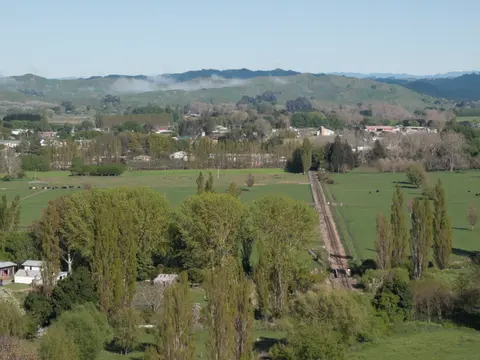
See modelled sediment yields for the Wairoa catchment now and under mitigation.
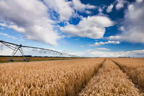
Check how often heat stress could hit wheat in your rohe as the climate changes.
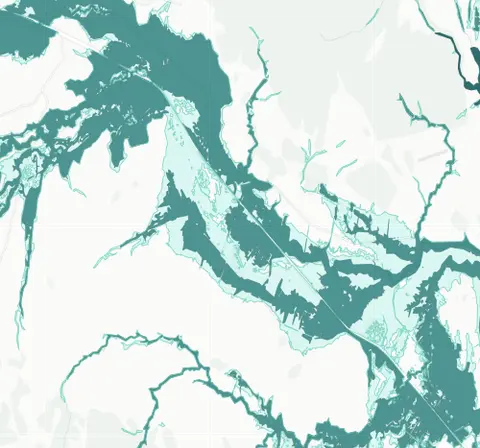
See river flood hazard zones near your Whangārei whenua
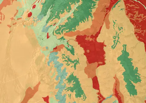
The Threatened Environments Classification can help you better understand the health of your local ecosystems.
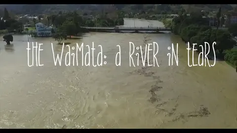
Waimata River faces severe erosion, pollution, and habitat loss from farming and logging.
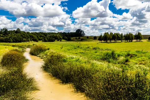
Check the E. coli runoff risk score for land in your rohe or catchment.
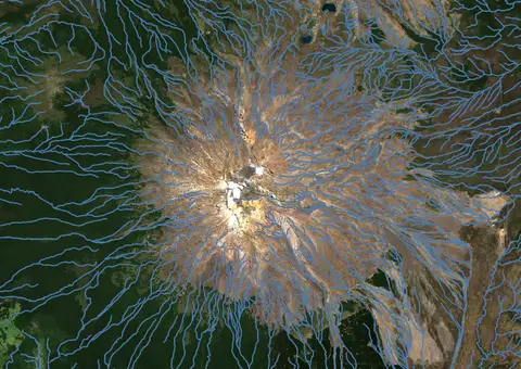
Download a dataset of named and unnamed river lines data for use in your analysis.
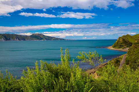
Learn how local groups improved the Whangawehi catchment and river health.
See how susceptible your soil and climate are to nitrogen loss each month.
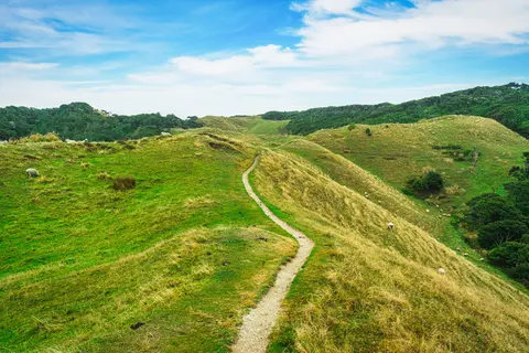
This study models soil loss, which is a major issue for Aotearoa farms and the environment.
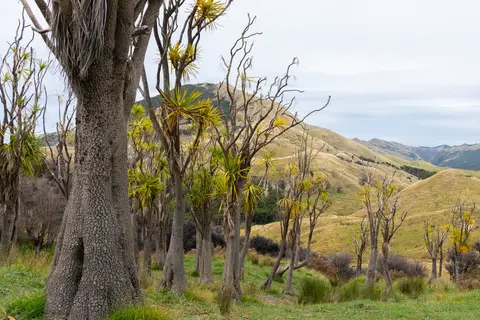
Guidelines and resources for managing erosion and sediment in forestry in New Zealand.
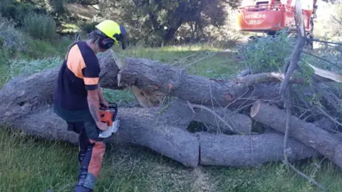
See how over 40 farms have worked together to improve the Wainuioru catchment.
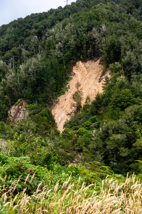
Learn how to control erosion in forestry through careful planning and tree selection.
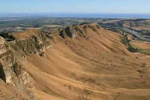
Hawke's Bay faces erosion issues. Planting trees can help prevent soil loss and improve water quality.