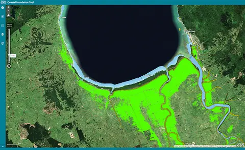
Waikato Coastal Inundation Tool
Climate
Adaptation
Flooding
Planning
Resilience
Risk
Understand coastal flooding risks in the Waikato region.
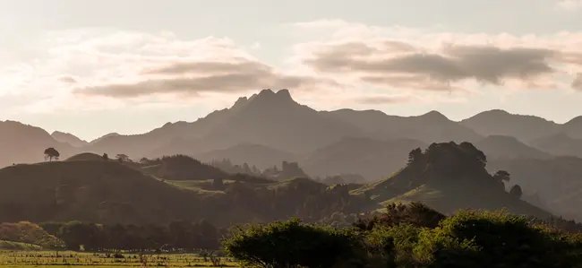
The Waikato Integrated Scenario Explorer is a tool that helps you understand different possible futures for your land. It uses various scenarios to show how changes in land use, climate, and policies might affect farming and the environment. You can explore different options and see how they impact your farm's productivity and sustainability.
Understand coastal flooding risks in the Waikato region.
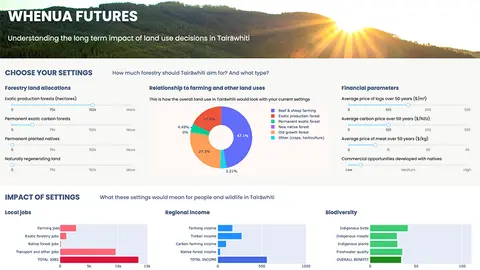
Explore land use impacts of different land uses in Tairāwhiti with this interactive forestry tool.
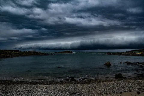
See different climate change scenarios for New Zealand and their potential impacts.
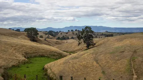
Learn about how climate change will impact Waikato and what communities can do.
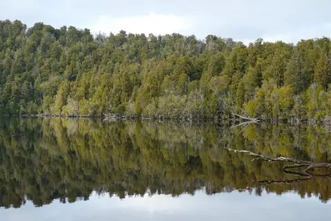
Learn about native plants of the Waikato and Coromandel regions.
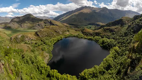
Explore how land use changes affect water quality and nitrogen, phosphorus loads.
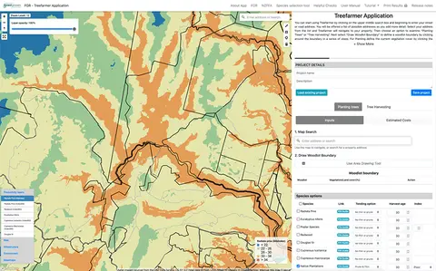
Treefarmer is a powerful free web tool to help small-scale forest growers plan tree planting and manage harvests.
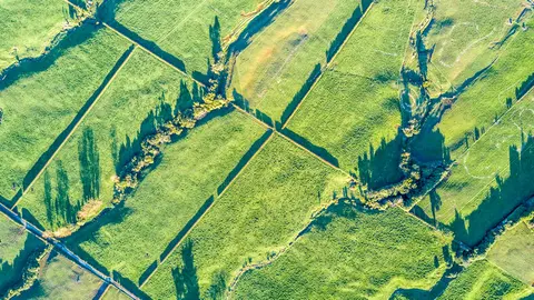
Read about the impacts different Aotearoa land use change scenarios might have on cliamte and socio-economic outcomes.
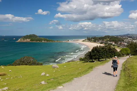
Explore coastal adaptation decisions with budget and approval trade-offs.

This project explores Māori food traditions and how climate change impacts cultural health.
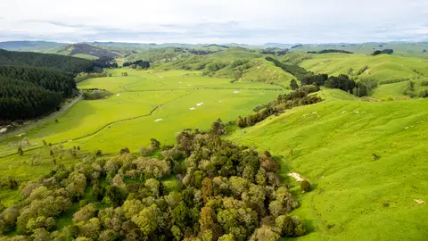
Assess the impact of different on-farm actions on biodiversity using this simple interactive tool.
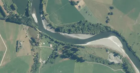
Model how land use changes might influence water quality in your catchment.
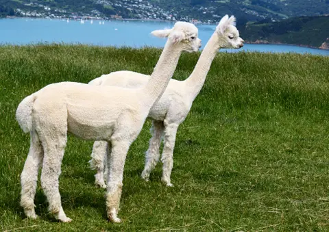
A model for understanding how change could impact farming and the environment.
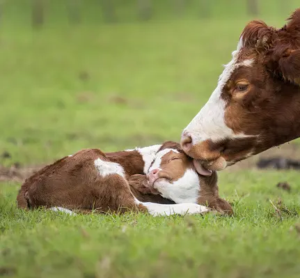
Estimate staff needs for various land uses with this interactive dashboard.
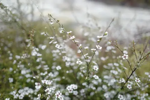
Find out which plant species will grow best in different Waikato landscapes.
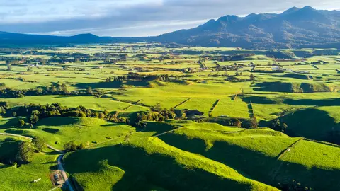
Explore key issues in New Zealand's land use change with expert insights and customizable data.
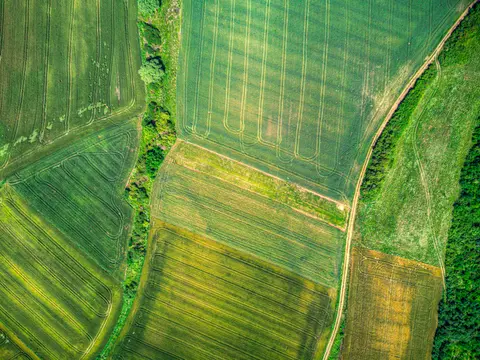
A data-driven model to explore how policies and land use affect the environment in New Zealand.
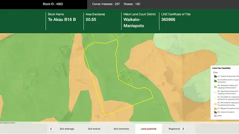
Explore different regulatory, soil, water, and land potential maps for your whenua.
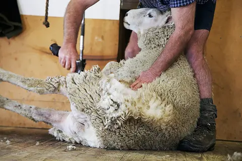
Learn about integrated farm planning for compliance, productivity, and environmental outcomes.
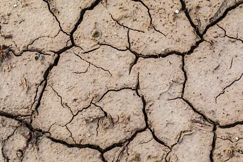
This research examines how climate change affects farmland values in Aotearoa.
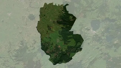
Understand climate event and variability trends for South Waikato District.
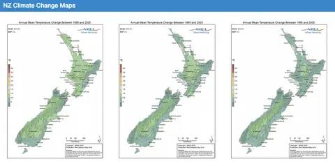
Explore how climate change will impact New Zealand's weather and environment over the coming century.