A classification of New Zealand terrestrial ecosystems
Whenua
Biodiversity
Conservation
Planning
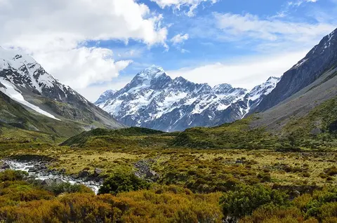
This report classifies Aotearoa ecosystems into 152 types to help with policy and decision-making.
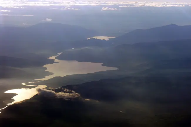
Land Typing is a mapping method that describes the natural patterns of Aotearoa’s land, ecosystems and landscapes. It is based on the idea that because land types do not change when land use does, they give a stable base for understanding land and planning what to do with it.
The map shows land types at a detailed scale, but the information is still being compiled so not every area is covered yet.
Photo: “Upper Waitaki, Otago, New Zealand, 9 September 2005” by Phillip Capper, licensed for reuse under CC BY 2.0
This report classifies Aotearoa ecosystems into 152 types to help with policy and decision-making.
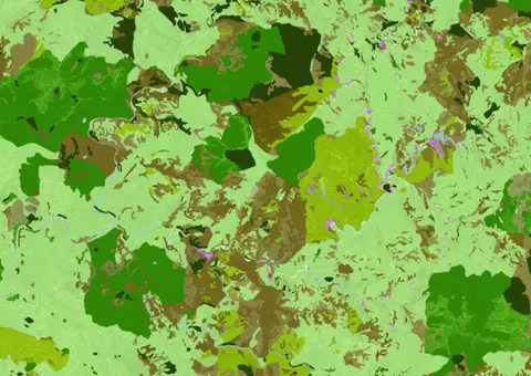
See land cover in Aotearoa and how it has changed over time.
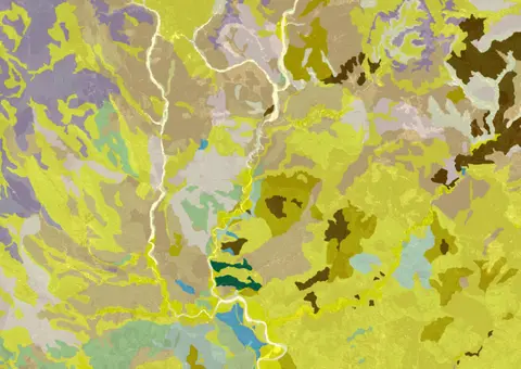
Get a better understanding of soil types on your whenua and across Aotearoa.
Compare rainfall, frost and dry-spell patterns across Te Matau-a-Māui Hawke's Bay.
An interactive key to identify different wetlands that can be found in Aotearoa.
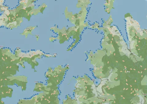
This map shows areas in Aotearoa that are used for aquatic farming.
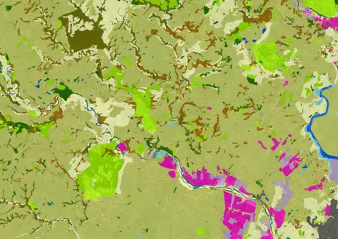
LUCAS is a national dataset that tracks carbon sequestration and land use change over time.
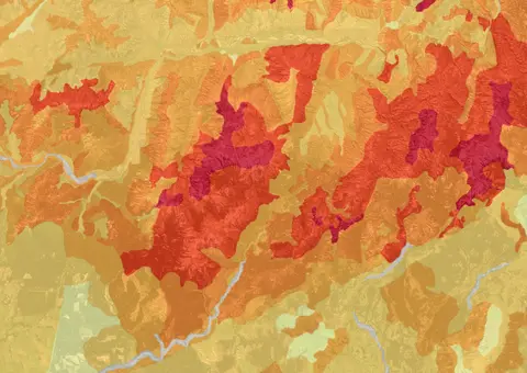
This map shows erosion types and estimated severity across Aotearoa.

Webinar on NZ land use classes and the new Land Resources Portal for maps, guides, and data.
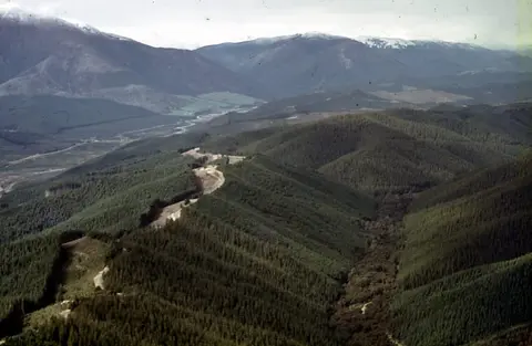
Understand the key considerations for land owners when considering entering the ETS.

View rainfall data for Northland, showing monthly averages and percentages from gauges.
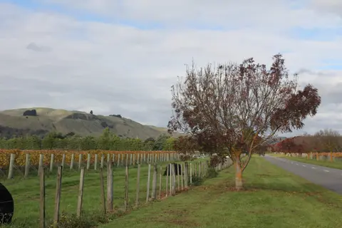
Get high-level soil classification data for Te Ika a Māui to help with land use decisions.
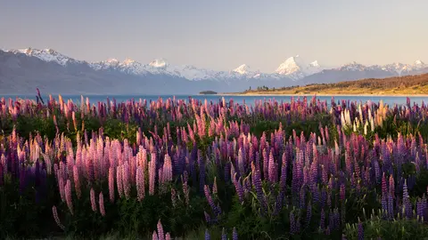
Understand the impacts that land use in Aotearoa has on people, whenua, and te taiao.
A comprehensive dataset that tracks how rural land is used across Aotearoa.
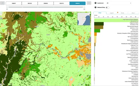
Explore how land cover has changed in Aotearoa over the past 25 years.
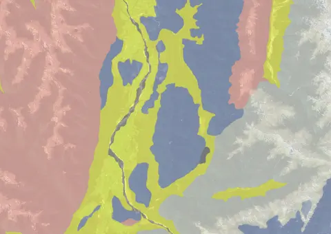
Use the NZLRI rock dataset to understand what type of rock is under your whenua.
Get guidance about how to search for and request official copies of Māori land records.
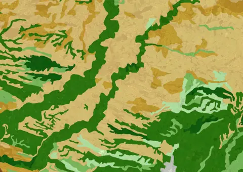
This widely used map estimates the land's potential for agricultural production.
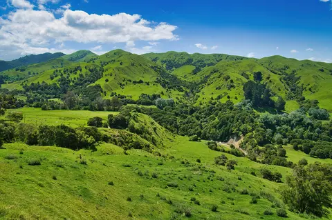
Learn about Māori land, its history, and different types of collective ownership.
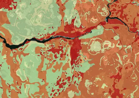
Map showing our remaining indigenous vegetation and its protection status..
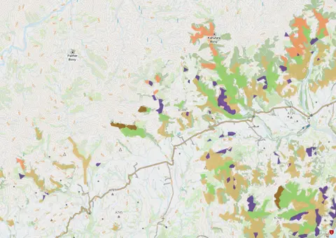
View indigenous forest cover in North Island, based on older aerial data from 1948-1955. North and South Island data has been combined into a national layer.
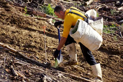
Get practical guidance for managing soil erosion.
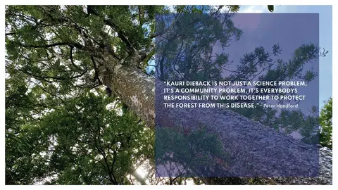
Learn about restoring native forests for sustainable farming and land use.