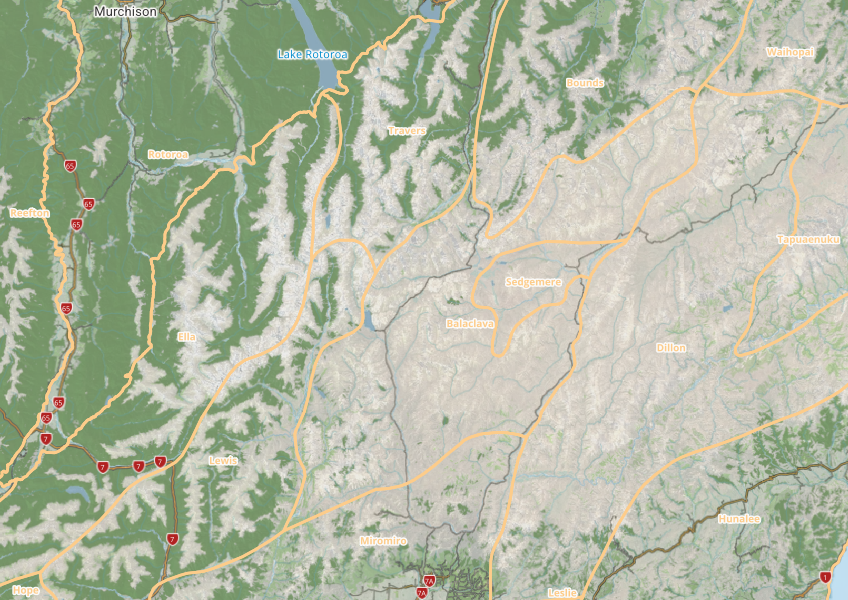
DOC Ecological Districts
Whenua
Biodiversity
Conservation
Planning
This map shows different areas of Aotearoa that have similar physical and biological characteristics.
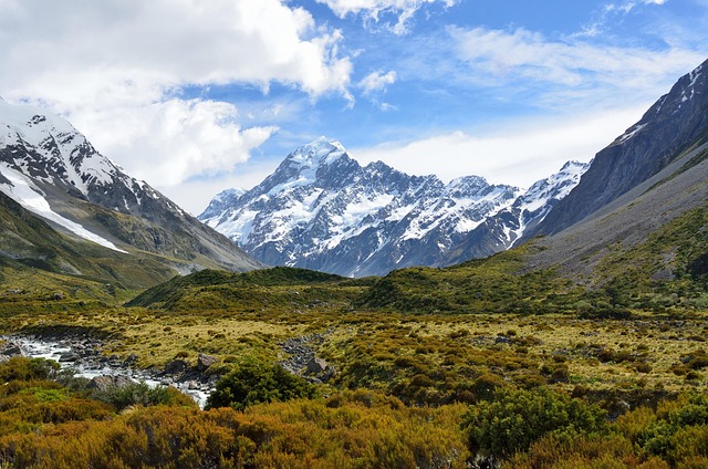
This resource classifies Aotearoa into 152 distinct ecosystems to help agencies make better decisions about land use and planning. It can be a useful tool for understanding policy decisions and how they might affect your whenua.
The report includes a detailed methodology, explaining how these classifications were created, and the underlying data is available in a number of formats by request.
This map shows different areas of Aotearoa that have similar physical and biological characteristics.
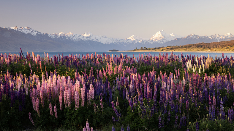
Understand the impacts that land use in Aotearoa has on people, whenua, and te taiao.
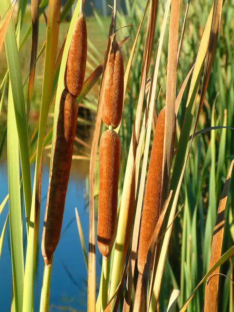
An interactive key to identify different wetlands that can be found in Aotearoa.
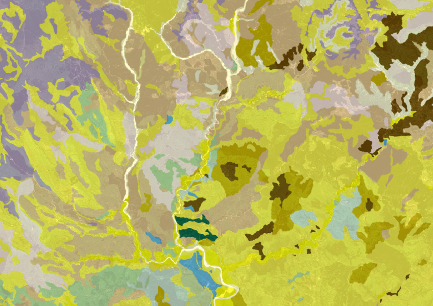
Get a better understanding of soil types on your whenua and across Aotearoa.
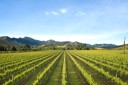
Get an overview of the datasets and tools in the WWO Data Supermarket.
Eco-Index offers tools and data to boost biodiversity in New Zealand's native ecosystems.
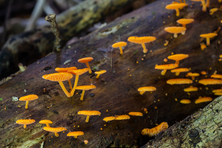
Biota of New Zealand is a comprehensive catalogue of scientific data about fungi, land invertebrates, and plants.
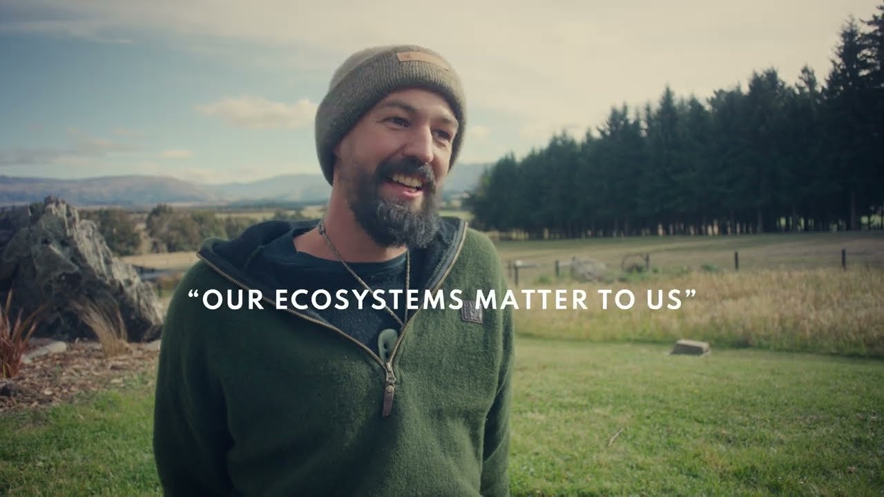
Watch Sam "The Trap Man" Gibson discuss the value of New Zealand's forest ecosystems.
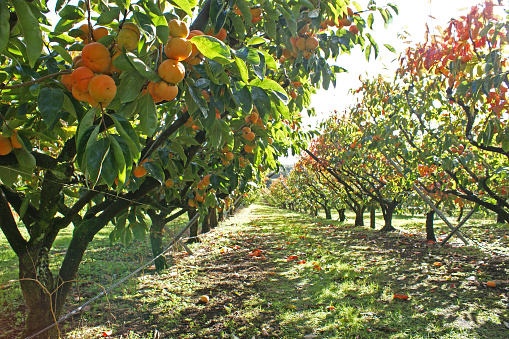
This report explains how to estimate the economics of land uses like horticulture and dairy.
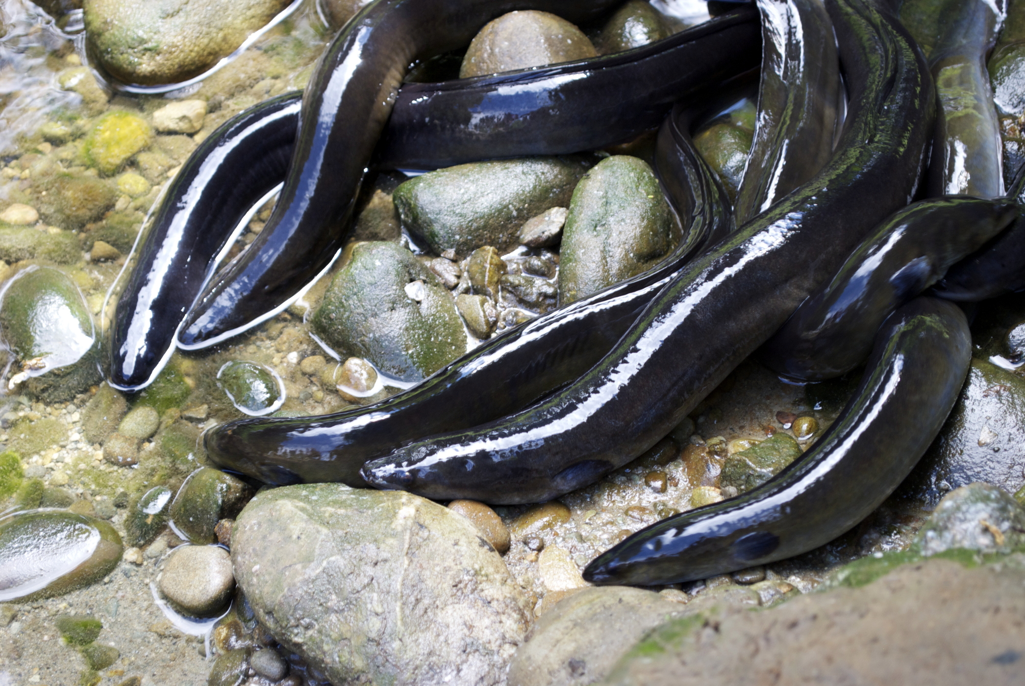
Find out how climate change could impact our freshwater taonga.
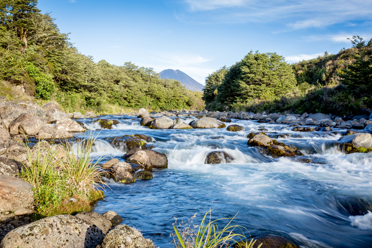
Explore how land use affects soil and water quality across New Zealand catchments.
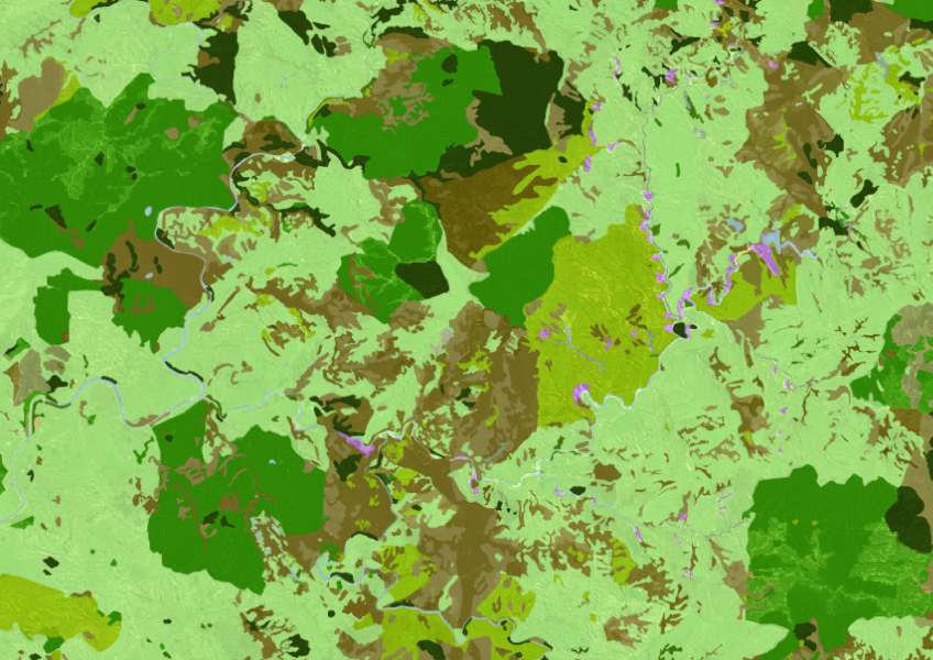
See land cover in Aotearoa and how it has changed over time.
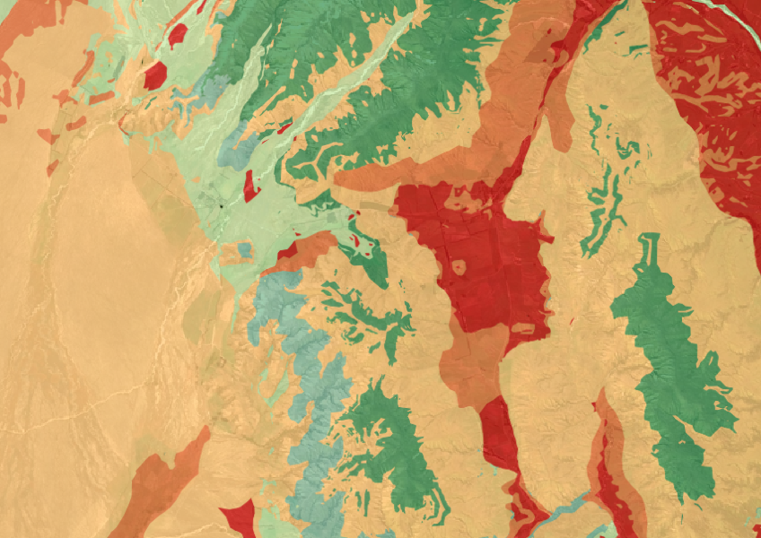
The Threatened Environments Classification can help you better understand the health of your local ecosystems.
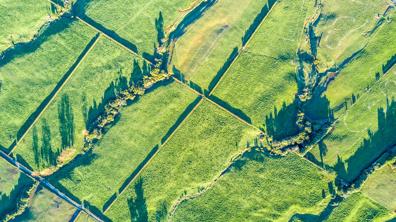
Read about the impacts different Aotearoa land use change scenarios might have on cliamte and socio-economic outcomes.
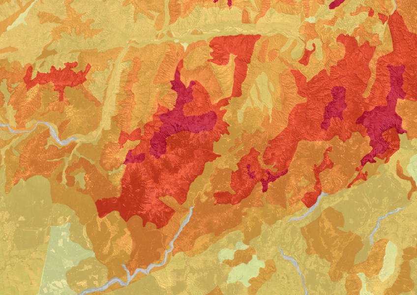
This map shows erosion types and estimated severity across Aotearoa.
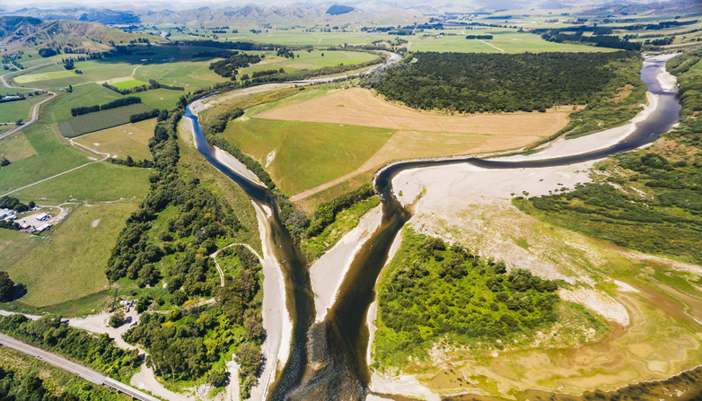
This report explores factors affecting land use change in New Zealand, targeting economic, social, and environmental aspects.
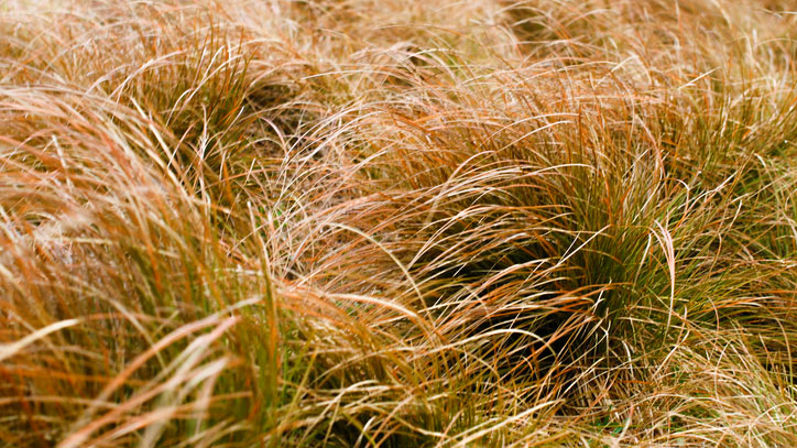
An interactive key to identify different Aotearoa grass species.
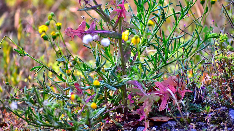
An interactive key to identify different weeds that can be found in Aotearoa.
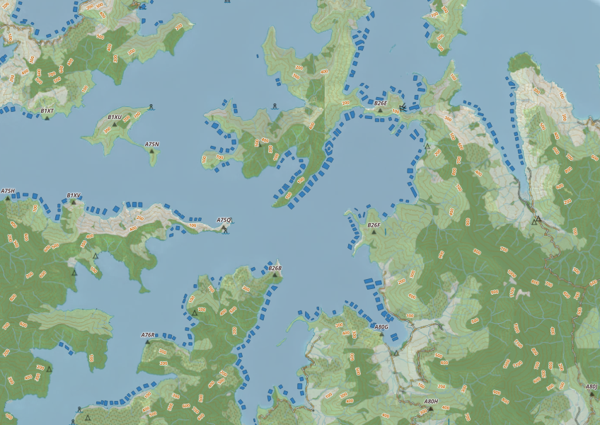
This map shows areas in Aotearoa that are used for aquatic farming.
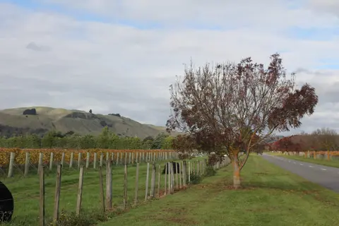
Get high-level soil classification data for Te Ika a Māui to help with land use decisions.
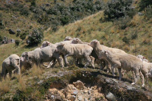
The ESC can determine whether you need resource consent to establish plantation forestry on your whenua.
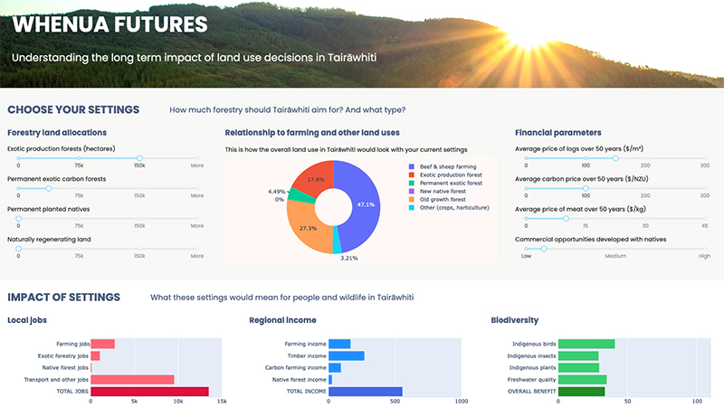
Explore land use impacts of different land uses in Tairāwhiti with this interactive forestry tool.